March 17, 2025
The Shape of Things to Come
March 17, 2025
Dive Sites
Actually, the shape of things that have come. While re-doing the artificial reefs charts, I refined and extended the mapping plugin to the point where it seemed like it could do the shipwrecks charts as well. There is a structure and order to the artificial reefs while the shipwrecks are a big jumble, but I figured I'd give it a try, and it worked.
This is the first time I have upgraded all the charts in the site since I started it many years ago. I expanded the layout as computer screens grew from 800x600 to 1920x1080 or more, but not too much, as a new generation of smaller devices came out, and the lower screen resolutions became relevant again. As the layout grew, the charts seemed to shrink, but it was just too hard to upgrade them all until now.
The problem with the new setup is that you can spend endless hours tweaking it. I now have all the markers and views set up for a nice initial presentation. The big advantage of the new charts is that the user can pan, zoom, and even full-screen them. Now I need to check for things that got lost, and add back in some secondary features. Right now it looks pretty drab, with the gray-scale map background that I chose for readability. Now that it is much easier, I am also adding new charts are they occur to me, like these:
Andrea Dorea
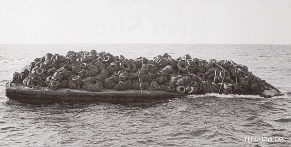
Dump Sites
Update:
It took some doing, but I have recreated every detail of the old charts, except for things that have become obsolete. I corrected some long-standing mistakes and inaccuracies, and even added some new sites. There are presently just over 1000 items in the database, and 75 charts.
All you folks who donated for the site costs - there's your payoff. Thanks again.